Get your SOUTH DAKOTA Boating License Online with Boater Exam®
BOATERexam.com® is a delegated provider for the South Dakota Department of Game, Fish and Parks.
Returning user? Log in here
Approved by the
South Dakota Department of Game, Fish and Parks
Complete the South Dakota Boaters Safety Course in
4 Easy Steps
Take your BOATERexam® course and be certified for life!
Step 1
Sign Up
Sign up for a Boaterexam® account, pay for the official course, and get started. It only takes a few minutes.
Step 2
Study & Pass the Online Course
Take the course on desktop, tablet or mobile. We automatically save your progress so you can learn at your own pace.
Step 3
Print Your Temporary Card Immediately
Pass the online exam and print your temporary boating license immediately.
Step 4
Go Boating!
Hit the water! You're all set to legally operate a boat.
Over 2,000,000 boating students certified and counting:
BOATERexam.com has a TrustPilot rating of 4.7 out of 5 based on 17707 ratings and reviews.
Mobile Optimized
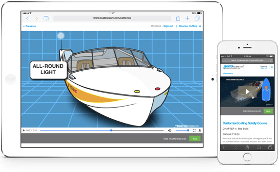
Study on Any Device
From laptop to mobile phone to tablet, choose when and where to take your boating course and get your South Dakota Boating Card.
Visual Exam Questions
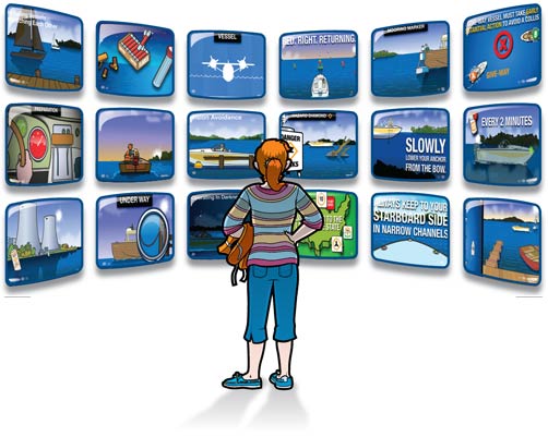
Visual Exam Questions Help You Learn
We found out a long time ago that people learn best when they can see what they're learning. Shouldn't you be tested the same way? Every one of our exam questions is illustrated to help you get your boating licence.
Engaging Videos
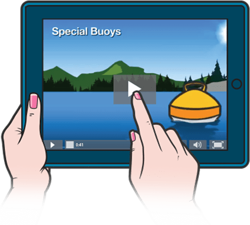
Hundreds of Engaging Videos
Our South Dakota boating license course features hundreds of rich engaging boating videos and animations. That means you aren't just reading: You're watching, listening and learning.
$34.95
Returning user? Log in here
South Dakota Approved Boating License & Safety Course

BOATERexam.com® is trusted by agencies across the United States to deliver the best of quality in boater safety. Our courses consistently receive the highest level of approval from agencies and from boaters.
This official South Dakota boating safety course is approved by the South Dakota Department of Game, Fish and Parks.
South Dakota Department of Game, Fish and Parks
523 East Capitol Avenue
Pierre, SD 57501
http://gfp.sd.gov
Protect your on-water adventures
Relaxing on the water is easy when you’re protected with a leader in boat insurance. Progressive has the coverages you need to explore carefree and full of adventure! Discover how we can protect your boat today with coverage we offer to the 1 million+ watercraft we already insure.
Get a Quote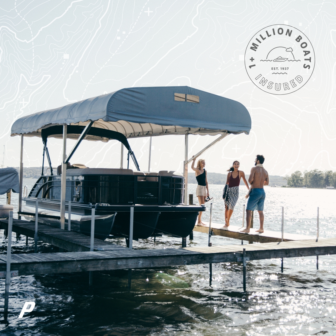
FAQs about getting a South Dakota Boating License
Below are some common questions about safe boating rules & regulations.
Q.
How much does the boat safety course cost?
A.
Q.
What payment methods are accepted?
A.
Q.
What is the "Certificate of Completion"?
A.
Q.
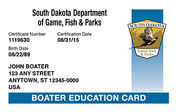
What is the South Dakota Boater Education Card?
A.
The Boater Education Card is proof that you have successfully completed all the education requirements. The Boater Education Card will arrive within 8-10 business days after you complete all certification requirements.
Q.
I do not have a driver's license. Can I still get the South Dakota boater license?
A.
Q.
How can I get my South Dakota boating license?
A.
You can obtain your South Dakota Boater Education Card in 3 easy steps:
- Pay the one-time fee of $34.95 – free unlimited retries of the final exam
- Study the South Dakota Boaters Safety Course, and pass the final exam
- Print off your Certificate of Completion immediately, and receive your permanent South Dakota Boater Education Card in the mail within 8-10 business days
This official South Dakota boaters safety course is approved by the South Dakota Department of Game, Fish and Parks.
Q.
How long is the boat safety course and boater license good for?
A.
Q.
Is anyone exempt from obtaining the South Dakota boating license?
A.
Q.
Is there a time limit to complete the online course?
A.
Q.
How many questions are on the exam?
A.
Q.
What is the passing grade?
A.

Need Help? Visit the BOATERexam.com® Help Center
The BOATERexam.com® Help Center is the place to find answers and solutions to your questions.
We've helped over 2 million people get certified online. So, we know what it takes.